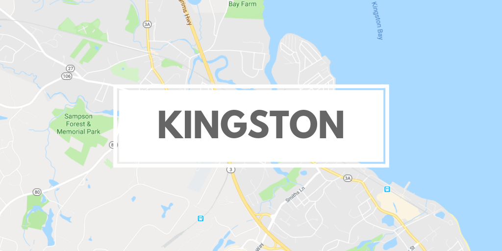
The town of Kingston is a coastal town that is about 35 miles south of Boston. It is bordered by Pembroke, Duxbury, Plymouth, Carver and Plympton. Kingston lies on Kingston Bay, an inlet to the larger Plymouth Bay. The Jones River runs through the town from its source, Silver Lake, to the bay. There are several brooks that branch off the river, as well as several other smaller ponds throughout the town, including Muddy Pond. There is a state forest in the town, located in the southern portion of the town which is commonly used for biking, off-roading, and hunting. Kingston is also the site of Gray's Beach, in a neighborhood called Rocky Nook, just north of the Plymouth town line.
Kingston's highest natural point, with an elevation of 313 feet, is Monk's Hill.
Total Area: 20.5 sq. miles
Land Area: 18.6 sq. miles
Population: 12,629 (2010)
Density: 620 per sq. mile
(source: Kingston Wikipedia Page)
The Kingston Conservation Commission is responsible for the protection and management of Kingston's Conservation land and for the administration of the Massachusetts Wetlands Protection Act and related town bylaws. For each trail included in our database, we've listed the agency responsible for maintaining and preserving the resource.
Originally part of Plymouth, Kingston was first settled by Europeans shortly after the landing of the Pilgrims at Plymouth Rock in 1620. It was settled once more in 1635. During 1675, several bloody battles during King Philip's War are believed to have occurred within Kingston's borders and the residence of Governor Bradford.
Kingston is home to the longest continuously run boat yard in North America, now named the Jones River Landing. The American Revolutionary War era brig, USS Independence, was built by Kingston shipbuilders on the Jones River and has emerged as a town icon, featured on the Kingston town seal. In the early-to-middle 19th century, Kingston flourished as a center for shipbuilding, as well as ice harvesting. Jones River Pond, the largest body of freshwater in town, was used during the long New England winters to harvest ice. The harvested product was then shipped throughout the world. Jones River Pond was even renamed to Silver Lake for marketing purposes during the height of the ice harvesting export industry, and retains the name today.
(source: Kingston Wikipedia Page)