TRAIL LISTING
We've combed the internet and maps to pull this list together. Don't see your favorite? Tell us via the live chat.
You are trying to load a table of an unknown type. Probably you did not activate the addon which is required to use this table type.
REVIEWS
Luddam’s Ford Park / Hanover
Plain Street / Hanover
Pine Island Swamp / Hanover
Melzar Hatch Reservation / Hanover
Denham Pond / Hanover
LANDSCAPE
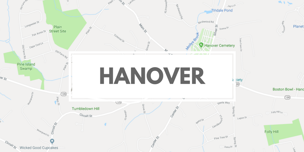
Hanover is a South Shore town that is located about 20 miles south of Boston. It is bordered by Norwell, Pembroke, Hanson, and Rockland. Much of Hanover's eastern and southern borders consist of three waterways, the North and Indian Head rivers along the south and southeast, and the Third Herring Brook along the east. (The latter two are both tributaries, and the town border is marked by their confluences.) There are also several small ponds and brooks throughout the town, the largest pond being Factory Pond, a tributary of the Indian Head River in the south of town. The town has several unique trails as a result of its commercial history.
Total Area: 15.7 sq. miles
Land Area: 15.6 sq. miles
Population: 14,814 (as of 2017)
(source: Hanover Wikipedia Page)
HISTORY
The area of Hanover was first settled by English settlers in 1649 when William Barstow, a farmer, built a bridge along the North River at what is now Washington Street. The land was the westernmost portion of the town of Scituate, and it would officially separate and be incorporated as a town June 14, 1727. The name "Hanover" is probably a tribute to King George I, the first Hanoverian King of Great Britain. Hanover's early industry revolved around farming, small mills and a shipbuilding area along the North River. Later industries would include tack factories and shoe factories along the smaller waterways in the town. The town was the site of the invention of the first tack-making machine, and making tacks and fireworks were among the industries of the later 19th century for Hanover.