The town of Norwell is a slightly inland town that is about 30 miles south of Boston. It is bordered by Scituate, Hingham, Pembroke, Marshfield, Hanover and Rockland. Much of Norwell's eastern border lies along the North River, where many shipbuilding companies once stood.
Total Area: 21.2 sq. miles
Land Area: 20.9 sq. miles
Population: 10,506
Density: 500 per sq. mile
(source: Norwell Wikipedia Page)
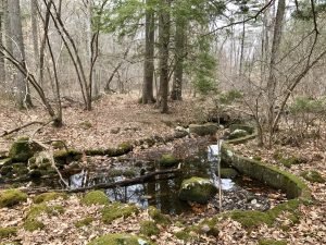
Norwell has done an incredible job preserving the town's natural resources. The Conservation Commission is responsible for the protection and management of Norwell’s Conservation land and for the administration of the Massachusetts Wetlands Protection Act and Norwell Wetland Bylaw. According to the town website, the Conservation Commission serves these primary purposes:
1. To administer and enforce the state Wetland Protection Act and the Norwell Wetland Bylaw.
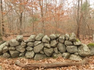
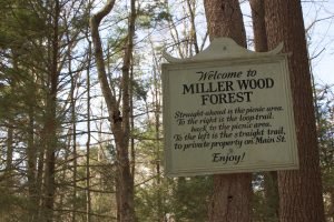
2. To manage: 1969 Acres of Open Space Public Lands, 19+ Miles of Public Trails, 10 Active Farm Fields, 11 Conservation Restrictions, 9831 Feet of Scenic Stone Walls.
3. To conduct outreach and education regarding the town's natural resources, and environmental issues.
Conservation land in Norwell comes from many sources including: (1) Town resources and (2) The Trustees of the Reservation. For each trail included in our database, we've listed the agency responsible for maintaining and preserving the resource.
(source: Norwell Conservation Commission)
Norwell was first settled in 1634 as part of the initial Scituate settlement known then as Satuit. It was officially known as South Scituate in 1849. A mere 40 years after that the town voted to change its name to Norwell by ballot. The name Norwell came from Henry Norwell, a dry goods merchant who paid for the maintenance of the town roads. Early settlers were attracted to the area for agricultural reasons and then later shipbuildings. Some of the finest ships (frigates, schooners, whalers, and merchant) were produced on the North River.
(source: Norwell Wikipedia Page)