LANDSCAPE
Town of Scituate is a coastal community located 25 miles southeast of Boston, approximately halfway between Boston and Plymouth. Scituate is bordered by Marshfield, Norwell, Cohasset and Hingham.
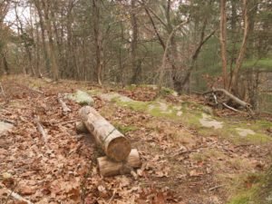
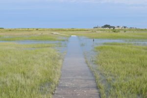
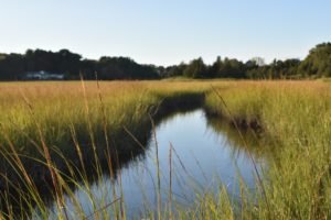
Scituate has some unique geography. Humarock which remains a part of of Scituate can only be reached from Marshfield. They used to be connected until the Portland Gale storm of 1898 that washed out the land between the two. The town's landscape varies significantly from rocky shores and sandy beaches to salt marshes, and significant forests in the West End. The town also has a very popular harbor for boating.
Total Area: 31.8 sq. miles
Land Area: 17.6 sq. miles
Population: 18,133
Density: 1,046 per sq. mile
(source: Scituate Wikipedia Page)
CONSERVATION
Scituate has a wide variety of landscapes in the town but much of the conservation land exists in two main areas: the Driftway and the Scituate Forest (West End). In 2002, the town of Scituate voted to adopt the Community Preservation Act (CPA) was adopted by Scituate voters. Under the Act, a Community Preservation Committee (CPC) was established to make recommendations for the use of CPA funds. The nine member Committee is appointed by the Selectmen, and is made up of four at large members and five Town board members (Planning Board, Conservation Commission, Housing Authority, Recreation Committee and Historical Commission).
Information about conservation land is not readily available however the two main resources would be the Community Preservation site and the Maxwell Conservation Trust.
HISTORY
Scituate was first settled in 1627 and incorporated as town in 1636. The name is derived from a Wampanoag term "satuit" - meaning cold brook. Fun fact? Scituate Rhode Island is named after Scituate Massachusetts. In 1710, a group of residents moved to Rhode Island and named it after their prior hometown. Scituate used to be a much larger town. Over the course of 132 years, portions of the town were separated and incorporated as new towns (Hanover - 1717, Marshfield - 1788, and Norwell - 1849).
Fishing and sea mossing were significant parts of the local economy. The town's history contains many references to shipwrecks that took place just offshore. The coast of Scituate is protected by a fair amount of ledge that is hidden by the tide. Scituate does have two lighthouses that served to guide ships around the dangers beneath the water. Old Scituate Light on the edge of Scituate Harbor was erected in 1810. Minot's Ledge Light is about a mile off the coast of Minot and the Glades. This lighthouse is also easily visible from Cohasset.
(source: Scituate Wikipedia Page)