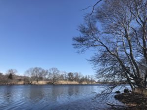
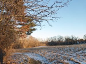
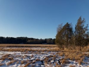
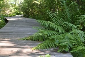
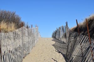
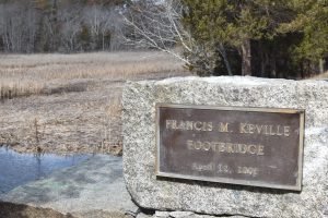
The town of Marshfield is a coastal town that is about 30 miles south of Boston. It is bordered by the Atlantic Ocean, Duxbury, Pembroke, Norwell, and Scituate. Marshfield's conservation land covers the full spectrum: ocean views, deep forests, and marsh land. It's an incredible resource for people who love the outdoors.
Total Area: 31.74 sq. miles
Land Area: 28.46 sq. miles
Population: 25,531
Density: 757 per sq. mile
(source: Marshfield Town Website)
Marshfield has done an incredible job preserving the town's natural resources. There are 2500+ acres of conservation land in the town of Marshfield! The Conservation Commission administers the Massachusetts Wetlands Protection Act, and the Town of Marshfield's Wetland Protection Bylaw, helping to preserve and protect wetland resources within the town.
Conservation land in Marshfield comes from many sources including: (1) Town resources, (2) The Audubon Society and (3) Wildlands Trust. For each trail included in our database, we've listed the agency responsible for maintaining and preserving the resource. The Marshfield Conservation Commission underwent a significant project to document and map town trails. These maps are linked on the town website - and here as well!
(source: Marshfield Conservation Commission)
Marshfield was founded in 1640 by Edward Winslow. Winslow came to the colonies aboard the Mayflower in 1620 and moved to land that would become Marshfield in 1640. Over time Marshfield has grown and spawned several distinct communities within the town limits: Green Harbor, Brant Rock, Fieldson, Rexhame, Marshfield Hills, Humarock, and North Marshfield.
A bit of Colonial History? "During the Colonial era, Marshfield was home to Nathaniel Ray Thomas, a famous Tory of his time, who declared allegiance to the English crown in the face of opposition from his Marshfield neighbors. In order to protect Thomas from retribution, the Commonwealth garrisoned British soldiers at Thomas' estate. On hearing the news, several Patriots planned a raid, calling off the attack only after learning the British had positioned cannon on the estate. Weeks later, after the Battle of Lexington, a Patriot militia stormed Thomas' land only to find the British troops had fled by boat." (source: Marshfield.net)